GPS log file viewer and analyzer with support for GPX, TCX, KML, FIT, IGC, NMEA, SLF, SML, LOC, GPI, GeoJSON and OziExplorer files.
Features
- Opens GPX, TCX, FIT, KML, NMEA, IGC, CUP, SIGMA SLF, Suunto SML, LOC, GeoJSON, OziExplorer (PLT, RTE, WPT), Garmin GPI&CSV, TomTom OV2&ITN, ONmove OMD/GHP, TwoNav (TRK, RTE, WPT), GPSDump WPT, Velocitek VTK, Vakaros VKX, GoPro GPMF videos, DJI videos, Sony RTMD videos, Google CAMM videos, Novatek/VIOFO/Blackvue/Vantrue/70mai dashcam videos and geotagged JPEG/MP4 files.
- Opens geo URIs (RFC 5870).
- User-definable online maps (OpenStreetMap/Google tiles, WMTS, WMS, TMS, QuadTiles).
- Offline maps (MBTiles, PMTiles, OziExplorer maps, TrekBuddy maps/atlases, Garmin IMG/GMAP & JNX maps, TwoNav RMaps, KMZ maps, AlpineQuest maps, Locus/OsmAnd/RMaps SQLite maps, Mapsforge maps, ENC & BSB charts, QCT maps, GEMF maps, Osmdroid SQLite maps, Orux maps, COROS maps, GeoTIFF images, ESRI World files).
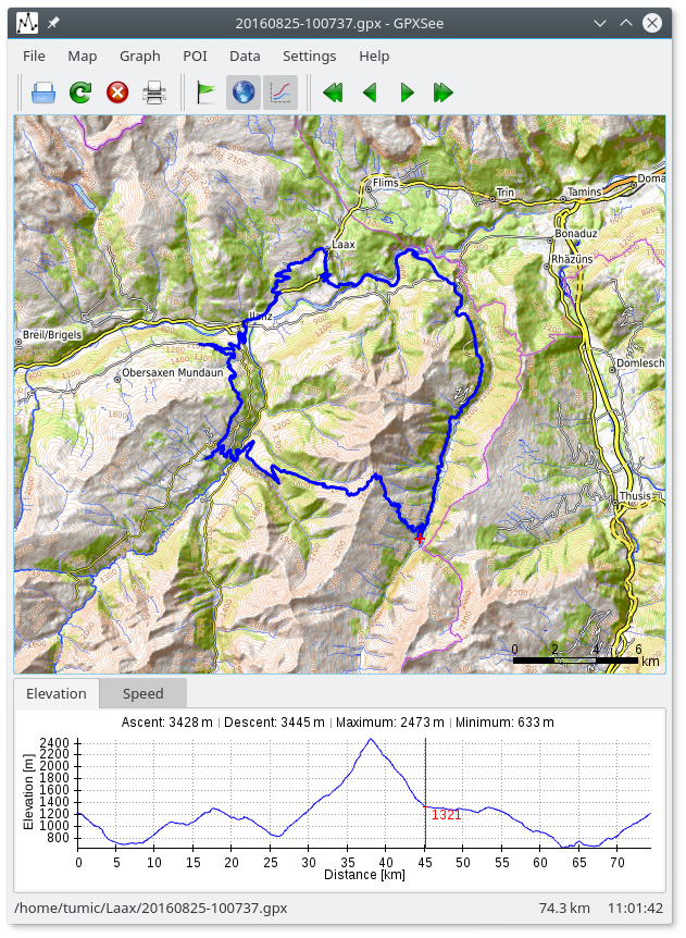
- Elevation, speed, heart rate, cadence, power, temperature and gear ratio/shifts graphs.
- Support for DEM files (SRTM HGT).
- Support for POI files.
- Support for multiple tracks in one view.
- Print and export to PDF/PNG.
- Native GUI for Windows, Mac OS X and Linux.
- Full-screen mode.
- HiDPI/Retina maps and displays support.
- Real-time GPS position.
Project Samples


License
GNU General Public License version 3.0 (GPLv3)Follow GPXSee
Other Useful Business Software
Turn traffic into pipeline and prospects into customers
Docket is an AI-powered sales enablement platform designed to unify go-to-market (GTM) data through its proprietary Sales Knowledge Lake™ and activate it with intelligent AI agents. The platform helps marketing teams increase pipeline generation by 15% by engaging website visitors in human-like conversations and qualifying leads. For sales teams, Docket improves seller efficiency by 33% by providing instant product knowledge, retrieving collateral, and creating personalized documents. Built for GTM teams, Docket integrates with over 100 tools across the revenue tech stack and offers enterprise-grade security with SOC 2 Type II, GDPR, and ISO 27001 compliance. Customers report improved win rates, shorter sales cycles, and dramatically reduced response times. Docket’s scalable, accurate, and fast AI agents deliver reliable answers with confidence scores, empowering teams to close deals faster.
Rate This Project
Login To Rate This Project
User Reviews
-
I hate to rain on the parade, but this is unusable for me. It has ignored the majority of points in the first gpx file I loaded. In other software, I can see a nice, detailed track. In GPXSee, I see a few points then a straight-line jump to a point miles down the road, a few more points and another jump, and so on. I could not find anything in the documentation or settings to address this. And, again, in online software, like gpx studio, or even my old GPX Editor program, all the points display. Disappointed, because otherwise, it has the features I want.Reply from GPXSee
-
Just downloaded it. Very easy to see my GPX track on what looks like an openStreets map. Have not explored all the features.
-
Excellent! I can throw away my old crap Trip and Waypoint Mgr and the City Navigator North America Garmin DVD's. My Polar track info opened beautifully with a single click, with detailed route like I never saw before. Thank you so much for creating and providing GPXSee.
-
This is absolutely the simplest and the best GPS file viewer I have ever tried. Thank you very much for creating and maintaining GPXSee.
-
For me GPXsee would be perfect if we could add gpx Points on the map so it could become GPXsee and Place!
