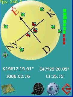
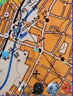
GPS tracking software for PocketPC which uses bitmap images and rotates the image as you move. Load multiply images as needed based on the present position. Can load tracks and POI-s from mps files.
Project Samples


Categories
GISLicense
GNU General Public License version 2.0 (GPLv2)Follow LFGPSMap
Other Useful Business Software
Agentic AI SRE built for Engineering and DevOps teams.
NeuBird AI's agentic AI SRE delivers autonomous incident resolution, helping team cut MTTR up to 90% and reclaim engineering hours lost to troubleshooting.
Rate This Project
Login To Rate This Project
User Reviews
Be the first to post a review of LFGPSMap!
