MorphoLim has been moved to sourcesup (https://sourcesup.renater.fr/morpholim/).
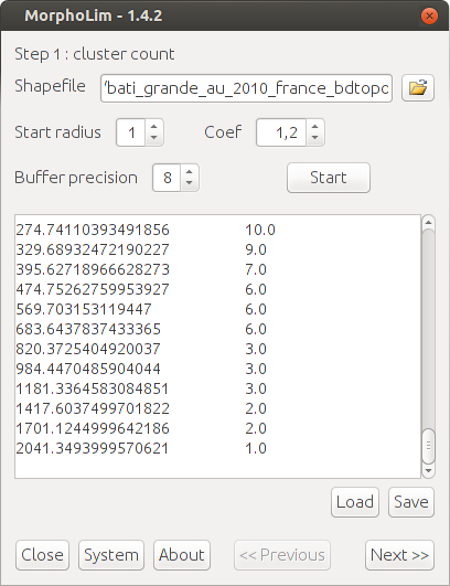
MorphoLim is dedicated to the identification of the morphological boundary of urban agglomerations. The method used avoids the need for any pre-defined maximum distance threshold between buildings. It is based on the conceptual and methodological tools of fractal geometry.
Authors of the application: Cécile Tannier, Gilles Vuidel, and Pierre Frankhauser (ThéMA, Besançon, France)
Project Samples


Categories
GISLicense
GNU General Public License version 3.0 (GPLv3)Follow MorphoLim
Other Useful Business Software
Simplify Purchasing For Your Business
Simplify every aspect of buying for your business in Order.co. From sourcing products to scaling purchasing across locations to automating your AP and approvals workstreams, Order.co is the platform of choice for growing businesses.
Rate This Project
Login To Rate This Project
User Reviews
Be the first to post a review of MorphoLim!
